
Defined area and depth range
Coverage is matched to the area of operation and the vertical range required for the drilling program.
IFR1
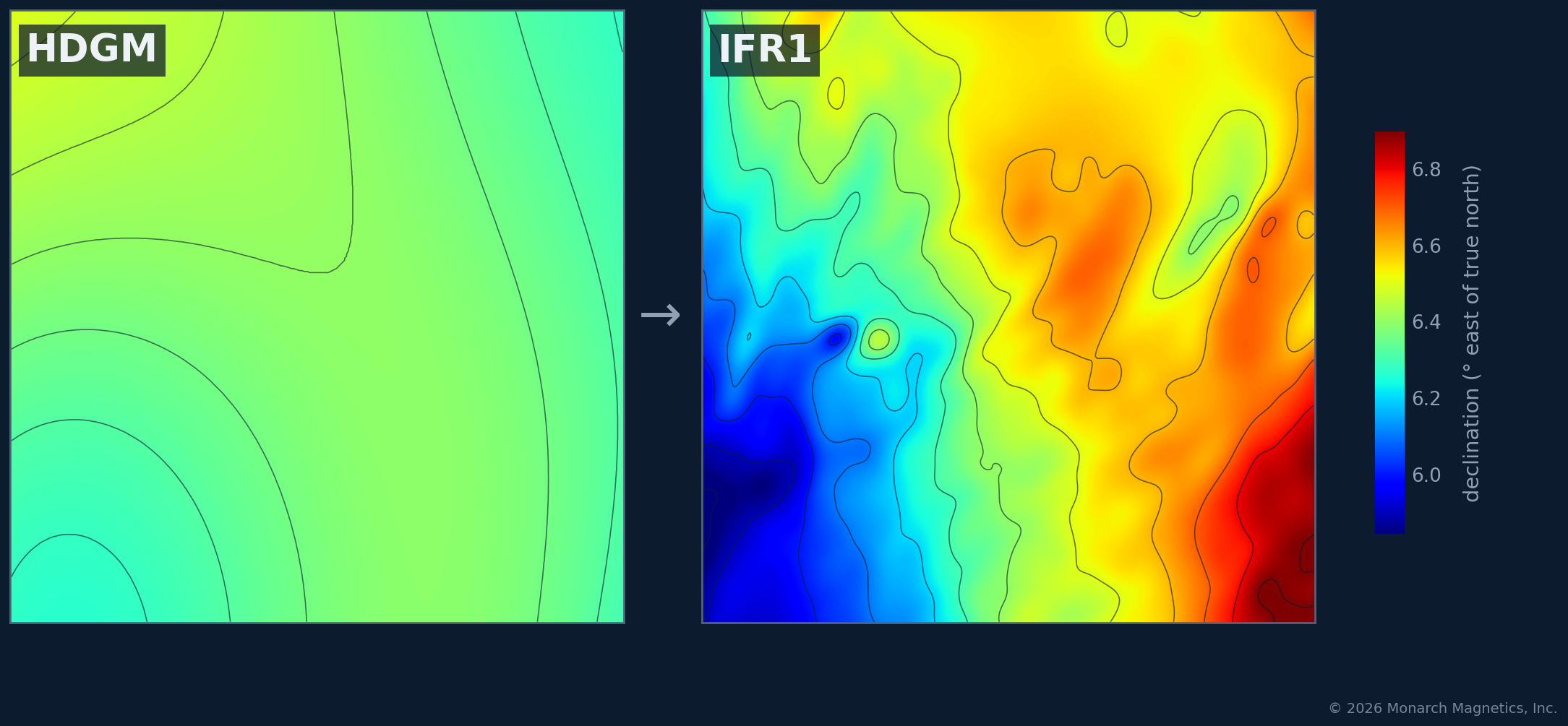
Monarch IFR1 products add regional crustal-field information beyond the reference field, delivered as reusable vector corrections for a defined area of operation.
Why IFR1
HDGM provides a high-resolution global reference field. IFR1 adds regional crustal information derived from magnetic survey data where still finer local detail is required.
The result is a vector correction model for the defined geographic area and depth range of operation.
Regional product
Monarch IFR1 products are licensed for a defined geographic area rather than as a separate correction for each well. Within the licensed coverage, the same regional product can support repeated operations.
Coverage is matched to the area of operation and the vertical range required for the drilling program.
The product provides the regional magnetic correction needed to refine the reference field throughout the licensed volume.
Monarch IFR1 products are natively referenced to HDGM so the regional correction fits directly into the broader geomagnetic stack.
Depending on the region, production may use suitable public, licensed, or customer-provided magnetic survey data.
Validation
Monarch uses two independent modeling approaches. Agreement between the results provides a strong internal check on the product, while differences help inform modeling uncertainty. Where suitable independent observations are available, they provide an additional external validation.
Getting started
Monarch can evaluate the data availability, production requirements, and appropriate coverage before defining the final IFR1 product.
Provide the area of operation as a boundary, coordinates, or other suitable geographic definition.
Define the depth range and operational requirements the IFR1 product needs to support.
Share relevant survey data and metadata if available. Monarch can also evaluate appropriate public or licensed data sources.
The geomagnetic stack
HDGM provides the reference field, IFR1 adds local crustal refinement, and IFR2 accounts for time-varying changes in the magnetic field.
IFR1 coverage
Contact Monarch with the area and depth range you need to cover. We can evaluate available data and discuss the appropriate IFR1 product.