
HDGM
Reference field
Provides the high-resolution global magnetic reference used in magnetic surveying.
Explore HDGM2027Applications
Monarch supports directional drilling, magnetic navigation, and geomagnetic observation and monitoring.
Primary application
Magnetic surveying uses Earth's magnetic field to determine wellbore direction. Accurate positioning therefore depends on knowing the field at the well location and at the time of the survey—not only the large-scale reference field, but also local crustal structure and time-varying external-field effects.
Monarch's HDGM, IFR1, and IFR2 products address these contributions as a coherent operational stack, with uncertainty and validation used to quantify confidence in the result.
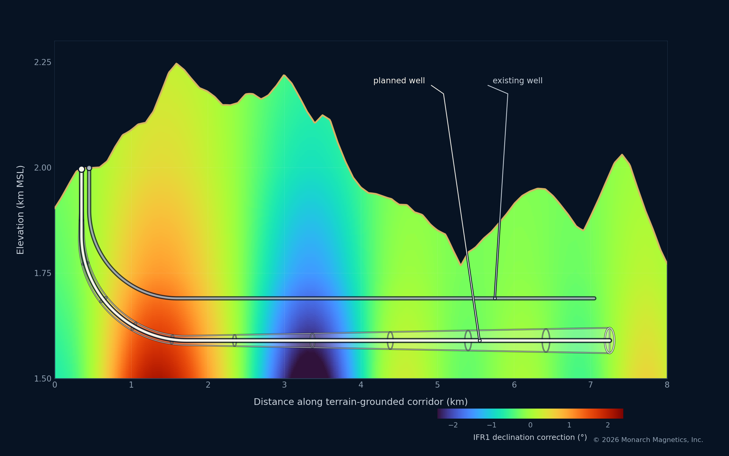
Directional-drilling stack
Reference field
Provides the high-resolution global magnetic reference used in magnetic surveying.
Explore HDGM2027Local crustal refinement
Adds regional crustal magnetic structure not resolved by the reference field alone.
Explore IFR1Time-varying correction
Accounts for magnetic-field changes with time, including external and space-weather effects.
Explore IFR2Broader applications
Magnetic navigation uses spatial variations in Earth's magnetic field as a reference for positioning. The quality of that reference depends on the resolution and accuracy of the magnetic map, the treatment of time-varying fields, and a clear understanding of uncertainty.
Monarch's high-resolution modeling, regional mapping, correction, and validation capabilities can support magnetic-navigation reference environments and related technical requirements.
Discuss a MagNav requirement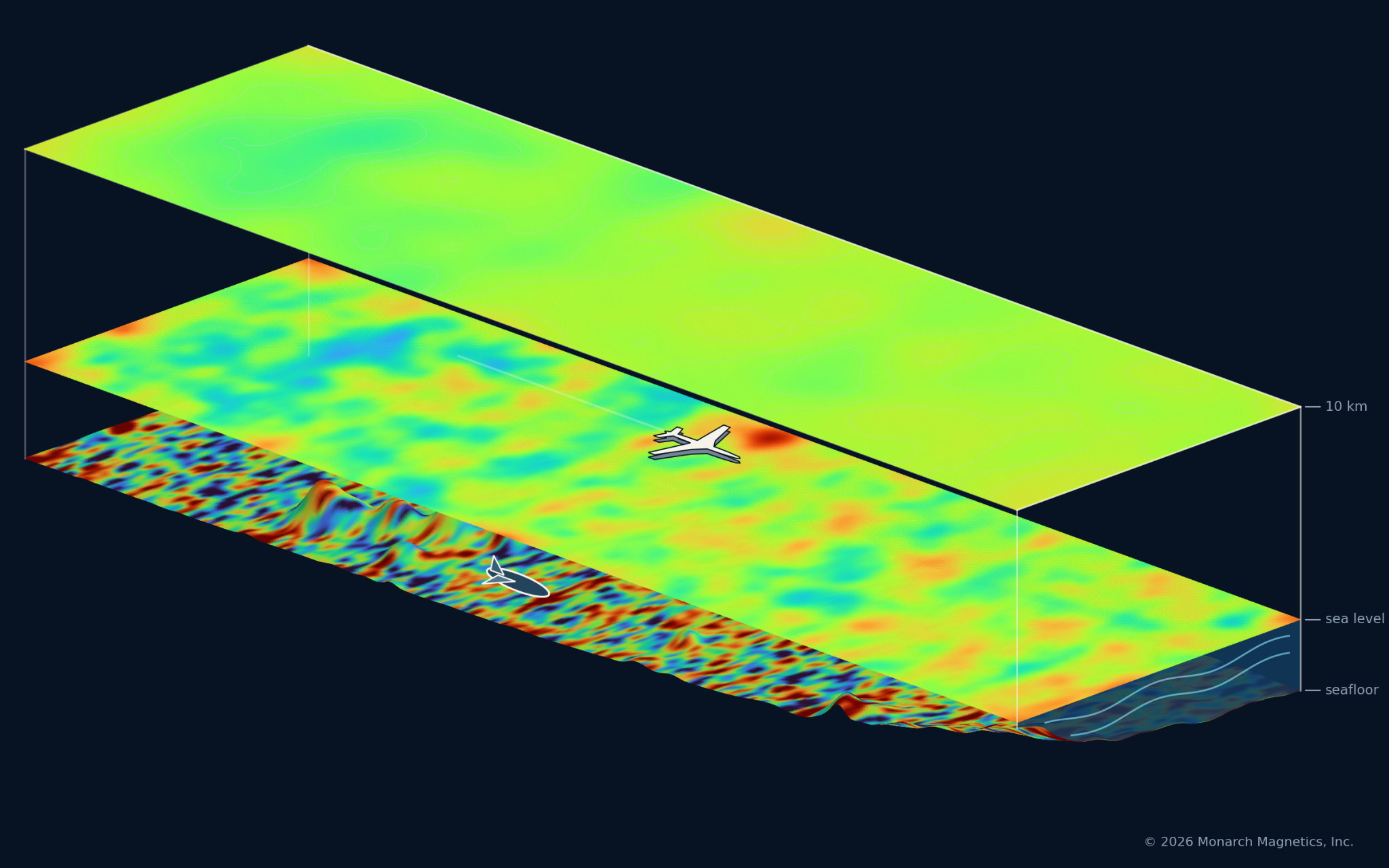
Broader applications
Monarch supports geomagnetic observation projects through consulting and ready-to-use technical capabilities, drawing on deep experience with measurement requirements, observing systems, data quality, and the use of observations in geomagnetic field models and operational products.
Depending on the project, Monarch can advise on observing-system requirements or provide an integrated observation capability—from instrument selection and network design through deployment, data acquisition, telemetry, quality control, and incorporation of the observations into operational geomagnetic products.
Discuss an observation or monitoring requirementContact
Tell us where you are operating, what magnetic information you need, and how it will be used. We can help identify the appropriate model, correction, validation, or measurement approach.